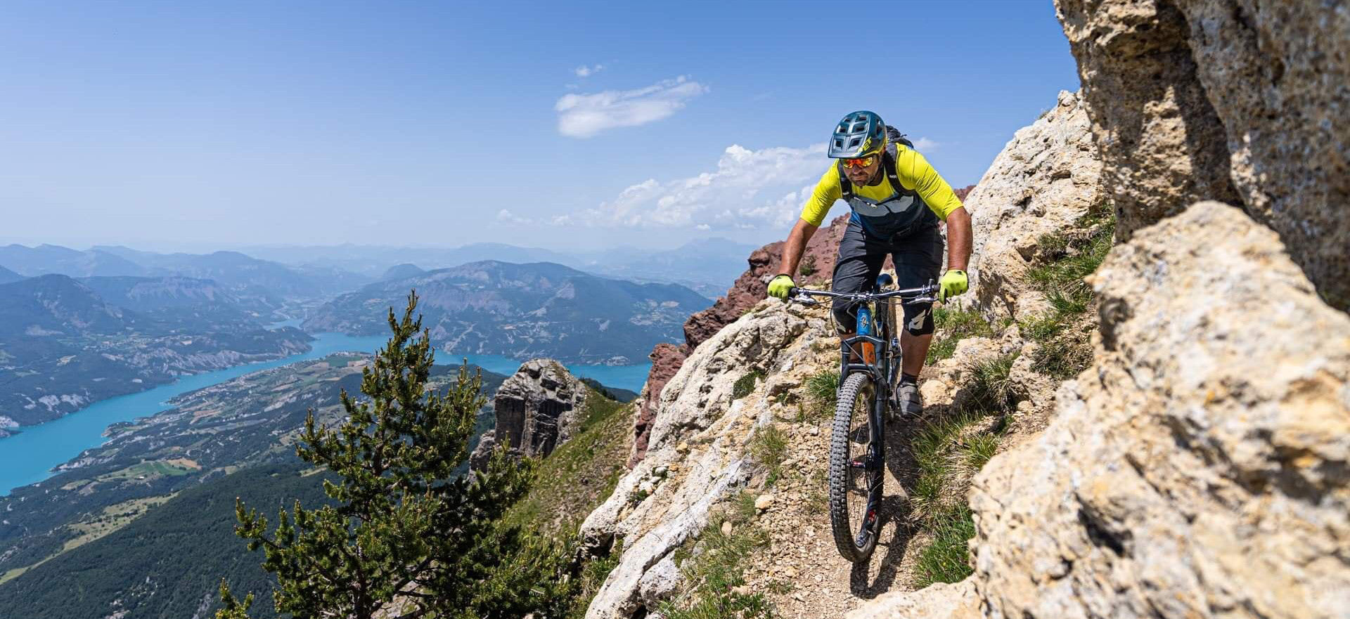
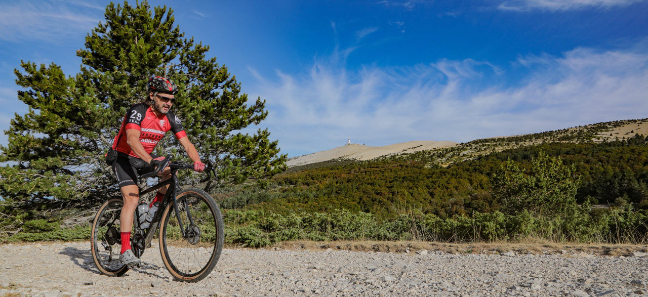
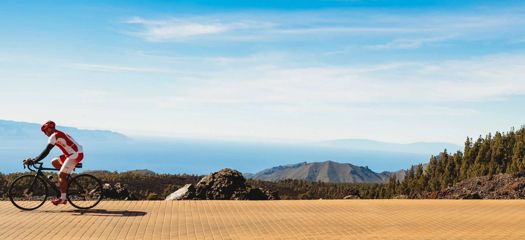
The Alpes de Haute-Provence, what a wonderful playground for cycling enthusiasts! This topo is an invitation to discover this department for all, whatever their level of practice, between plain and mountain. For each route, a short summary sets the tone of the hike, then a map and a description make it easy to follow the route. The 32 courses are classified according to a rating ranging from green to black. Exclusive and unique, a beautiful 4-day roaming between France and Italy. Good road !
- Pays : France
- Région(s) : Provence-Alpes-Côte d'Azur
- Département(s) : Alpes de Haute Provence
- Format pratique 12 x 19 cm et léger 400 g
- Traces GPS au format GPX compatibes smartphones et GPS portables
- Des infos récurrentes très utiles : variantes, région, point de vue...
- 112 pages en couleur
- Photos
- Langue(s) : French and English
- Auteur(s) : Damien Rosso
- ISBN : 9782916972718
- Date de parution : April 6, 2015
Livraison offerte à partir de 60€ en France métropolitaine, Corse, Andorre et Moncaco. Tous les tarifs ici.
Expédié sous 48h dès parution.
Un lien pour télécharger vos Traces GPS vous sera envoyé par e-mail.
Les Traces GPS sont complémentaires du contenu des topo-guide VTOPO.
Nous vous déconseillons d'utiliser uniquement les Traces GPS sans la consultation du topo-guide en question.
Avec ce dernier, vous aurez accès aux niveaux de difficultés, à des recommandations, des précautions et à un descriptif détaillé, utile en cas d'erreur d'orientation. Vous aurez aussi la possibilité de visualiser des variantes et autres possibilités.


